Tên thành viên:  
Mật khẩu:  
Đăng ký 
Hôm nay, Thứ 2 23/09/24 4:24

Thời gian được tính theo giờ UTC + 7 Giờ


Tạo chủ đề mới Gửi bài trả lời  [ 1 bài viết ] 
  Xem bản in Chủ đề trước | Chủ đề kế tiếp 
Người gửi Nội dung
 Tiêu đề bài viết: Getting Started with ArcGIS Pro
Gửi bàiĐã gửi: Thứ 4 18/09/24 18:17 
Ngoại tuyến

Ngày tham gia: Thứ 3 09/04/24 14:43
Bài viết: 4550
Getting Started with ArcGIS Pro


Hình ảnh


Published 9/2024
MP4 | Video: h264, 1280x720 | Audio: AAC, 44.1 KHz, 2 Ch
Language: English | Duration: 1h 0m | Size: 764 MB


Learn the basics of ArcGIS Pro with all necessary details


What you'll learn
Fundamentals of geographic information systems
Management of spatial and attribute data
Map projections and coordinate systems
Layout map production
Data production and editing
Basic spatial analysis
Location-based and attribute-based database queries
Requirements
Basic knowledge of cartography
Basic computer skills
Description
With this training, you can get a quick start on ArcGIS Pro software. All the topics you need are explained in a concise manner within the scope of the basic training, and no necessary detail is overlooked. Almost every video includes an application, and you can accompany these applications using the data I share.This basic level training will be a building block for more advanced topics such as raster data processing and analysis, spatial databases, point cloud analysis, remote sensing analysis that I will publish later, and will make it easier for me to prepare a roadmap for you regarding GIS learning.The following topics are included in the training;- Important general information about geographic information systems (What is GIS? Difference between raster and vector data, map projections and coordinate systems, difference between geographic and projection coordinate systems)- Displaying raster and vector data (point, line, polygon) on a map- Editing an attribute table and associating it with a map, adding columns and deleting columns- Defining and changing a coordinate system- Creating a map from scratch (layout view and adding scale, legend, north arrow, title)- Simple spatial analyses (buffer, intersect, dissolve, union, append, erase, merge, clip)- Basic database queries (location-based and attribute-based query operations)
Who this course is for
Engineers, urban planners, architects and geographers who are planning or just starting out on a career in Geographic Information Systems

Homepage:


Mã:
https://www.udemy.com/course/getting-started-with-arcgis-pro/


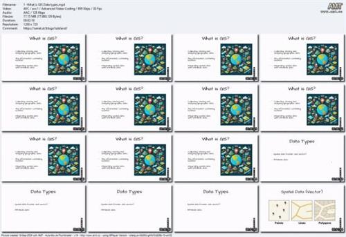
Screenshots


Hình ảnh


Download link


rapidgator.net:
Mã:
https://rapidgator.net/file/563e9e8aa08923f7df8cc04913f71674/uaqfy.Getting.Started.with.ArcGIS.Pro.rar.html


ddownload.com:
Mã:
https://ddownload.com/i29ykqlq2yow/uaqfy.Getting.Started.with.ArcGIS.Pro.rar


Đầu trang
 Xem thông tin cá nhân  
 
Hiển thị những bài viết cách đây:  Sắp xếp theo  
Tạo chủ đề mới Gửi bài trả lời  [ 1 bài viết ] 

Thời gian được tính theo giờ UTC + 7 Giờ


Ai đang trực tuyến?

Đang xem chuyên mục này: Google [Bot]32 khách


Bạn không thể tạo chủ đề mới trong chuyên mục này.
Bạn không thể trả lời bài viết trong chuyên mục này.
Bạn không thể sửa những bài viết của mình trong chuyên mục này.
Bạn không thể xoá những bài viết của mình trong chuyên mục này.
Bạn không thể gửi tập tin đính kèm trong chuyên mục này.

Tìm kiếm với từ khoá:
Chuyển đến:  


Powered by phpBB © 2000, 2002, 2005, 2007 phpBB Group
Vietnamese language pack for phpBB 3.0.x download and support.

mile200 v1.0.1 designed by Team -Programming forum-سيارات للبيع .